
Filter by
SubjectRequired
LanguageRequired
The language used throughout the course, in both instruction and assessments.
Learning ProductRequired
LevelRequired
DurationRequired
SkillsRequired
SubtitlesRequired
EducatorRequired
Find the Best GIS Course for Your Goals
 Status: Free Trial
University of Michigan
Skills you'll gain: Social Justice, Geographic Information Systems, Organizational Change, Environmental Policy, Sustainability Reporting, Environmental Issue, Environmental Regulations, Geospatial Mapping, Culture Transformation, Spatial Data Analysis, Datamaps, Environmental Social And Corporate Governance (ESG), Strategic Leadership, Organizational Strategy, Corporate Sustainability, Spatial Analysis, Organizational Leadership, Systems Thinking, Health Equity, Environmental Laws
Coursera Project Network
Skills you'll gain: ArcGIS, Data Presentation, Spatial Data Analysis, Geographic Information Systems, Geospatial Information and Technology, Geospatial Mapping, Data Import/Export, Data Mapping, Data Manipulation
 Status: Free Trial
LearnKartS
Skills you'll gain: Git (Version Control System), Bitbucket, GitHub, GitLab, Version Control, Software Configuration Management, Collaborative Software, Software Versioning, Integrated Development Environments, IntelliJ IDEA, CI/CD, Eclipse (Software), Software Development, User Accounts, File Management, Code Review, Remote Access Systems, Development Environment, Command-Line Interface, Authentications

The University of Tokyo
Skills you'll gain: Visualization (Computer Graphics), Interactive Design, Computer Graphics, Computer Graphic Techniques, Human Computer Interaction, Animation and Game Design, User Interface (UI), Design, Technical Design, Algorithms, Simulations

UNSW Sydney (The University of New South Wales)
Skills you'll gain: Image Analysis, Unsupervised Learning, Geospatial Information and Technology, Geospatial Mapping, Computer Vision, Feature Engineering, Spatial Analysis, Machine Learning, Dimensionality Reduction, Deep Learning, Supervised Learning, Probability & Statistics, Artificial Neural Networks
 Status: Free Trial
L&T EduTech
Skills you'll gain: Geospatial Mapping, Geospatial Information and Technology, Geographic Information Systems, Construction, Construction Management, Architecture and Construction, Civil and Architectural Engineering, Spatial Analysis, Global Positioning Systems, GIS Software, As-Built Drawings, Survey Creation, Engineering, Scientific, and Technical Instruments, Data Import/Export
 Status: Free Trial
University of Michigan
Skills you'll gain: Generative AI, Data Ethics, Artificial Intelligence, Operational Risk, Strategic Thinking, AI Personalization, Automation, Legal Risk, Business, Governance, Social Studies, Data Security, Natural Language Processing, Data Quality
 Status: Free Trial
Duke University
Skills you'll gain: R Programming, Data Visualization Software, Data Visualization, Data Science, Ggplot2, Tidyverse (R Package), Data Analysis, Data Wrangling, Statistical Programming, Data Transformation, Exploratory Data Analysis, Data-Driven Decision-Making, Descriptive Statistics, Statistical Analysis, Data Manipulation, Statistics, Probability & Statistics, GitHub, Git (Version Control System)

Skills you'll gain: Git (Version Control System), Version Control, GitHub, Software Versioning, Software Development Tools, Software Configuration Management, Development Environment, Command-Line Interface

Yonsei University
Skills you'll gain: Spatial Data Analysis, Geographic Information Systems, Geospatial Mapping, Database Management Systems, Big Data, Apache Hadoop, Data Modeling, PostgreSQL, Network Analysis
University of Geneva
Skills you'll gain: Geographic Information Systems, Environment, Natural Resource Management, Spatial Analysis, Environmental Science, Environmental Policy, Socioeconomics, Sustainability Reporting, Economics, Governance, Stakeholder Engagement, Ethical Standards And Conduct

University of Illinois Urbana-Champaign
Skills you'll gain: Data Visualization, Interactive Data Visualization, Data Presentation, Infographics, Data Visualization Software, Data Storytelling, Plotly, Matplotlib, Journalism, Graphing, Data Literacy, Color Theory, Data Manipulation, Design Elements And Principles
Searches related to gis
In summary, here are 10 of our most popular gis courses
- Green Skills for a Sustainable and Just Future: University of Michigan
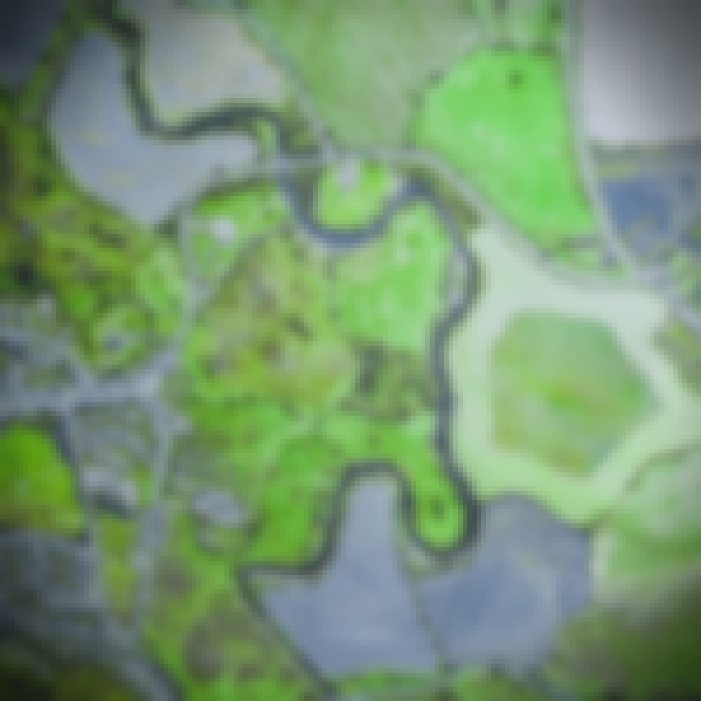
- ArcGIS for Beginners: Mapping Urban Green Spaces: Coursera Project Network
- Complete Git: LearnKartS
- Interactive Computer Graphics: The University of Tokyo
- Remote Sensing Image Acquisition, Analysis and Applications: UNSW Sydney (The University of New South Wales)
- Geospatial Technology for Construction : L&T EduTech
- Generative AI: Fundamentals, Applications, and Challenges: University of Michigan
- Data Visualization and Transformation with R: Duke University
- Git Essentials for Beginners: Packt
- Spatial Data Science and Applications: Yonsei University


